
What should your students know about the 13 original colonies? Ideally, they should be able to name them, locate them on a map, explain who settled there and why, and list the economic activities of each region. Here is an online interactive map that helps students locate and learn the 13 colonies. Do it together as a class or assign it for homework. Heck, do it every day at the end of class until the test. (There is a video ad that pops up in the lower right corner. If it bugs you, hover over it after it loads and an X will appear that you can click on to get rid of it.)
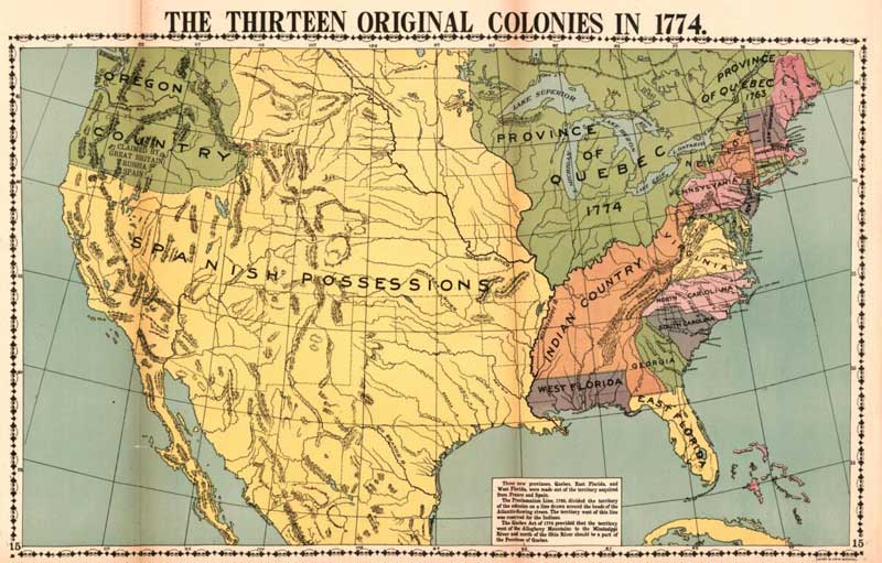
It’s also important to have your students label and color a map of the colonies. Here is a quality printable map of the 13 colonies.
Why?
A: It’s fun, and it’s a change from taking notes.
B. It is active learning. Students are doing something, not just watching you talk.
C. It engages both hemispheres of your students’ brains.
D. It engages kinesthetic and visual learners.
So the real question is: Why are you not using coloring in your classroom more! Just because your students did a lot of it in elementary school does not mean it’s not still a useful teaching tool.