
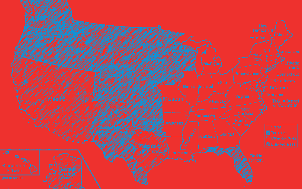
When covering the idea of manifest destiny and how it contributed to the Mexican-American War, a map is always helpful. Maps like the one linked below summarize lots of historical information in a friendly, visual format that makes it far easier for students to understand and remember. Use the blank expansion map found here (page 3) to help your students understand the idea of manifest destiny and its effect on expansion.
How?
After discussing manifest destiny, give your students a blank copy of the expansion map. Have them label the official United States up to 1844 (before Texas was added). Tell them to illustrate what manifest destiny would look like on that map. Tell them they need to include arrows to show which way the US is expanding and to add any other words, pictures, or symbols needed to accurately convey the concept. (My students drew things like wagons trains, telegraph lines, steam trains, and stick people heading west.) Be sure to have them write the term manifest destiny at the top.
Then have students label the territory owned by Mexico before the Mexican-American War (it’s labeled as the Mexican cession on page 2) and that of Texas.
After the students have labeled their maps, ask the following questions: What country or territories are in the way of the US fulfilling its manifest destiny at this time in history? What could the US do to gain these territories?
This discussion should help students understand why President Polk felt it was necessary to provoke a war with Mexico in order to gain territory.
You can also use this document to
- Teach students about each of the major US territorial gains and how we acquired them
- Review US territorial gains before an end of course test